In 2019, the Charlotte-Mecklenburg Historic Landmarks Commission recognized the need for more detailed publicly-available information about the historic African American neighborhoods and resources along Charlotte’s Beatties Ford Road corridor. Although nearby areas associated with the African American community had been investigated and/or inventoried over the years, no inventory of the subject area’s important historic resources had been compiled, and only limited information about the historical development of the area’s neighborhoods was available.
Under contract with the HLC, historical consultant and Johnson C. Smith University Archivist Brandon Lunsford began the survey work and historical research on the corridor in late 2019. The initial work focused on the area between the Brookshire Freeway and Interstate 85, including the Washington Heights neighborhood, the University Park neighborhood, and the many houses and commercial and institutional buildings situated on Beatties Ford Road. Those impressive reports were supplemented in 2021 with additional research and resources focusing on the Dalebrook, Lincoln Heights, and McCrorey Heights neighborhoods. The resulting compilation of information set out below provides important resources for understanding the development of African American communities on Charlotte’s West Side and the overall history of Charlotte.
Beatties Ford Road

2017 Beatties Ford Road 
2321 Beatties Ford Road 
1319 Beatties Ford Road
Beatties Ford Road, which provides a direct route into uptown Charlotte via West Trade Street, has served as a central corridor for the city’s African American community for decades. Established along that thoroughfare in 1876, the campus of Johnson C. Smith University (JCSU) offered a uniquely appropriate genesis from which the community grew and flourished, developing the city’s West End into a vibrant and valued asset for the Queen City. This inventory of historic properties concentrates on the houses, commercial buildings, and institutional buildings that front directly onto Beatties Ford Road. All pre-1945 structures were inventoried, as were any other properties built before 1970 with potential architectural or historical significance.
Dalebrook

2526 Pinestream Drive 
1813 Trentwood Place 
2519 Dalebrook Drive
Dalebrook was designed and built by Charles Ervin, a Charlotte-based developer whose Ervin Construction Company became the nation’s seventh largest homebuilder by the 1960s. The neighborhood launched in 1960 and quickly sold out within its first year. The self-contained community (located within the larger Lincoln Heights neighborhood) was the premier neighborhood in northwest Charlotte in the early 1960s, but was specifically intended as a segregated subdivision from its inception. Dalebrook was also the boyhood community for former Charlotte Mayor and U.S. Secretary of Transportation Anthony Foxx. A brief history of Dalebrook can be found here, and several related historic resources may be found under the “Dalebrook” entry on the interactive map available on the “Charlotte’s Historic West End” website hosted by JCSU’s James B. Duke Memorial Library.
Lincoln Heights

2208 Irma Street 
1800 Catherine Simmons Avenue 
1913 Newland Road
In the 1920s, the Southern Realty and Development Corporation initially developed the Lincoln Heights neighborhood as a subdivision for white Charlotteans, and even attempted to lure Durham’s Duke University to relocate to Charlotte’s West End. Those efforts proved unsuccessful, leaving the neighborhood largely undeveloped until the post-World War II era. Lincoln Heights experienced significant growth in the 1950s and 1960s due in large part to the forced relocation of African-American families in the wake of the urban renewal that razed downtown’s Brooklyn neighborhood. Lincoln Heights is currently the home of Northwest School of the Arts (formerly West Charlotte High School), Lincoln Heights Neighborhood Park, and the Beatties Ford Road branch of the Charlotte Mecklenburg Public Library. A brief history of Lincoln Heights can be found here, and several related historic resources may be found under the “Lincoln Heights” entry on the interactive map available on the “Charlotte’s Historic West End” website hosted by JCSU’s James B. Duke Memorial Library.
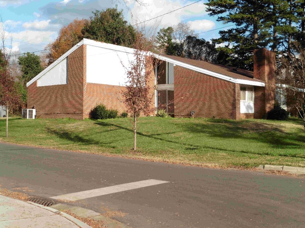
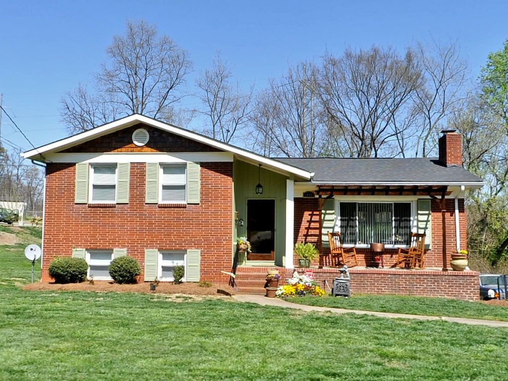
McCrorey Heights
Matilda Spears House
by architect Harvey Gantt
1648 Patton Avenue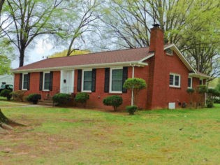
Leland S. Cozart House
1015 Clifton Avenue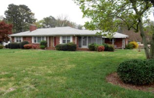
Charles V. Bell House
1645 Madison Avenue
McCrorey Heights, located northeast of the JCSU campus, just adjacent to the I-77/I-277 exchange, started in 1912, thanks to the efforts of then-JCSU president Reverend Henry L. McCrorey, who served the University in that capacity for forty years. The neighborhood grew quickly between the early 1950s and early 1970s into what historian Tom Hanchett has described as “a premier neighborhood for Charlotte’s highly educated African American elite.” Many McCrorey Heights residents participated actively in the civil rights movement, offering their support locally, regionally, and nationally. A thorough historical and architectural study of the McCrorey Heights neighborhood authored by Dr. Hanchett may be found here. The neighborhood currently includes approximately 167 homes, many of which are mid-twentieth-century custom-designed brick ranch-style houses.
Oaklawn Park
Grady McDonald House
1438 Dean Street
J.C. Reynolds House
1528 Jennings Street
Thomas Chiles House
1816 Russell Avenue
Just north of McCrorey Heights lies Oaklawn Park, another neighborhood designed and built by Charles Ervin and his Ervin Construction Company, which dates back to 1954. According to Dr. Hanchett, the neighborhood was constructed specifically for African-American families during the waning days of racial segregation, and is one of Charlotte’s best-preserved post-World War II suburbs. The primarily blue-collar neighborhood also counted among its residents several educators, school principals, ministers, and physicians. In part because the neighborhood, consisting primarily of brick ranch houses and split levels, remains as originally platted and built between 1954 and 1961, the Charlotte Historic District Commission has been working with residents to secure a historic district designation for Oaklawn Park. Those efforts have generated several valuable informational resources about Oaklawn Park, including an extensive property-by-property neighborhood survey and a local district designation report that incorporates a historical essay authored by Dr. Hanchett.
University Park

2140 Senior Drive 
2326 English Drive 
1432 Montana Drive
Containing hundreds of homes, University Park is a large neighborhood that grew in stages starting in the late 1950s. That piecemeal growth complicated initial efforts to identify a definitive boundary of the neighborhood. Using recorded subdivision maps, HLC Staff and the historical consultant were able to develop this boundary map of the historic University Park neighborhood. In fact, the survey uncovered an unnamed neighborhood, an area developed by the Biddleville Development Company that consisted of the residential blocks along Maribel Avenue, Estelle Street, Taylor Avenue, McDonald Street, and portions of Remington Street. This general history of University Park provides more interesting information about the neighborhood’s development. Because of its size, a complete inventory of University Park was not deemed feasible at the time of the project, so the survey concentrated instead on homes with strong architectural or historical significance, resulting in this inventory spreadsheet of significant University Park properties.
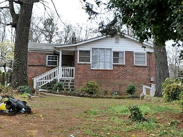
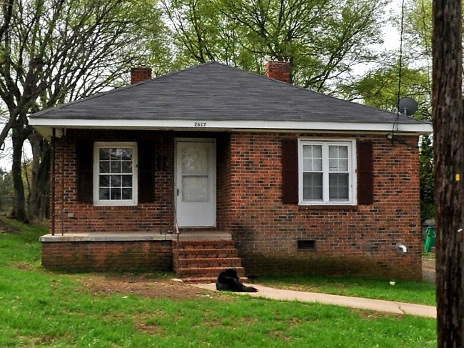
Washington Heights

2224 Dundeen Street 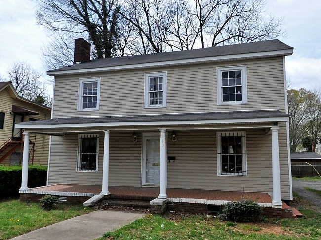
1319 Beatties Ford Road 
2617 Booker Avenue
One of the oldest neighborhoods along the Beatties Ford Road corridor, Washington Heights was actually a Charlotte suburb that symbolized the growing economic strength of the city’s African American community when it opened in the early 1910s. As Charlotte expanded, what was once suburb became city, and the Washington Heights neighborhood offered a compelling model for further residential growth in the West End, as further described in this historical essay about Washington Heights by Dr. Hanchett. With no available inventory of Washington Heights, the HLC emphasized the importance of a detailed survey identifying the properties that have contributed to the narrative of this historic neighborhood. The inventory of Washington Heights structures identified 112 structures that represent the neighborhood’s century-long story.