
The Charlotte-Mecklenburg Historic Landmarks Commission has completed a survey project that concentrated on identifying historic African American resources along a portion of Beatties Ford Road in Charlotte. The area studied is located between the Brookshire Freeway and Interstate 85, and includes the Washington Heights Neighborhood, the University Park Neighborhood, and the many houses and commercial and institutional buildings that front directly onto Beatties Ford Road. While nearby areas associated with the African American community had been investigated and/or inventoried, no inventory of the subject area’s important historic resources had been made. In addition, the HLC recognized a need to develop general history of the large and prominent University Park Neighborhood.
Under contract with the HLC, historical consultant and Johnson C. Smith University Archivist Brandon Lunsford began the survey work and historical research in late 2019. The results are impressive and important for understanding the development of African American communities on Charlotte’s West Side and the overall history of Charlotte.
Overview of the Beatties Ford Road Corridor Survey Project
2021 Update: The Charlotte-Mecklenburg Historic Landmarks Commission has supplemented this survey project with additional research and resources focused on the African American communities bordering the Beatties Ford Road corridor. Those materials – focusing on the McCrorey Heights, Oaklawn Park, Lincoln Heights, and Dalebrook neighborhoods – may be found here.
 2600 Beatties Ford Road


Washington Heights

2224 Dundeen Street 
1319 Beatties Ford Road 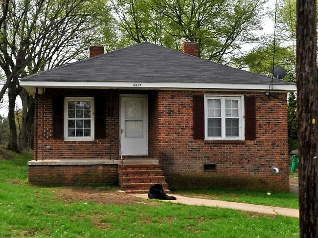
2617 Booker Avenue
While there has been solid academic research into the history of Washington Heights, the HLC previously did not have an inventory of the properties in the historic neighborhood. 112 structures in Washington Heights were identified during the survey.
Washington Heights Inventory Spreadsheet
Beatties Ford Road

2017 Beatties Ford Road 
2321 Beatties Ford Road 
1319 Beatties Ford Road
This survey concentrated on the houses, commercial buildings, and institutional buildings that front directly onto Beatties Ford Road. All pre-1945 structures were inventoried, and any property built before 1970 with potential architectural or historical significance was inventoried.
Beatties Ford Road Historic Properties Inventory Spreadsheet
University Park

2140 Senior Drive 
2326 English Drive 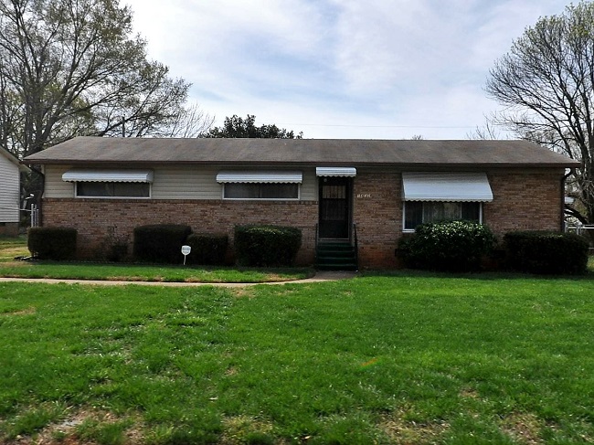
1432 Montana Drive
No general history of the University Park neighborhood could be identified by HLC Staff, and thus the production of a concise history of the neighborhood became a priority of the project.
University Park Historical Essay
University Park is a large neighborhood, containing hundreds of homes. A complete inventory of the neighborhood was not deemed feasible for this project. Instead the project concentrated on homes with strong architectural or historical significance.
Significant University Park Properties Spreadsheet
The University Park neighborhood grew in stages, and initial research into the area failed to identify a definitive boundary of the neighborhood. Using recorded subdivision maps, HLC Staff and the historical consultant were able to develop a boundary of the historic neighborhood. An interesting finding of the Survey is that the residential blocks along Maribe Avenue, Estelle Street, Taylor Avenue, McDonald Street, and portions of Remington Street were parts of an early 20th Century un-named neighborhood developed by the Biddleville Development Company.